Doesn’t it give you a little thrill when the National Weather Service informs you of “life-threatening conditions” about to descend upon your home?
…WINTER STORM WARNING REMAINS IN EFFECT UNTIL NOON CST THURSDAY… …WIND CHILL WARNING REMAINS IN EFFECT FROM 6 AM THURSDAY TO NOON CST SATURDAY… …BLIZZARD WARNING REMAINS IN EFFECT FROM NOON THURSDAY TO 6 AM CST SATURDAY…
WHAT…For the Wind Chill Warning, dangerously cold wind chills expected. Wind chills as low as 40 below zero. For the Winter Storm Warning, heavy snow expected. Total snow accumulations of 5 to 8 inches. For the Blizzard Warning, blizzard conditions expected. Winds gusting as high as 50 mph. For the Wind Chill Advisory, very cold wind chills. Wind chills as low as 30 below zero.
WHERE…Stevens, Pope and Swift Counties.
WHEN…For the Wind Chill Warning, from 6 AM Thursday to noon CST Saturday. For the Winter Storm Warning, from 6 AM Wednesday to noon CST Thursday. For the Blizzard Warning, from noon Thursday to 6 AM CST Saturday. For the Wind Chill Advisory, until midnight CST tonight.
IMPACTS…Travel could be very difficult or impossible. Widespread blowing snow could significantly reduce visibility. Gusty winds could bring down tree branches. The dangerously cold wind chills could cause frostbite on exposed skin in as little as 10 minutes.
ADDITIONAL DETAILS…This could be a life-threatening situation if you get stranded traveling late this week. Consider adjusting any travel plans now.
PRECAUTIONARY/PREPAREDNESS ACTIONS…
Travel should be restricted to emergencies only. If you must travel, have a winter survival kit with you. If you get stranded, stay with your vehicle.
The latest road conditions for the state you are calling from can be obtained by calling 5 1 1. Road conditions can also be found at 511mn.org for Minnesota or 511wi.gov for Wisconsin.
More Information
…ACCUMULATING SNOW WEDNESDAY FOLLOWED BY GROUND BLIZZARD AND DANGEROUSLY COLD CONDITIONS THURSDAY AND FRIDAY… …TRAVEL THURSDAY AFTERNOON THROUGH FRIDAY NIGHT COULD BE IMPOSSIBLE AND LIFE-THREATENING….Snow will overspread the region Wednesday and bring 5 to 9 inches of fluffy accumulation through Wednesday night north of a line from Madison to Mankato To Eau Claire, with 3 to 5 inches to the south. Winds will be relatively light Wednesday and Wednesday evening. There should be a break in severe winter conditions late Wednesday night and early Thursday. Then, strong northwest winds gusting as high as 50 mph and dangerously cold air will surge in Thursday afternoon through Friday night. Whiteout conditions are expected during that time with travel becoming very difficult or impossible. This event could be life- threatening if you are stranded with wind chills in the 30 below to 45 below zero range. Travel plans for late this week should be adjusted now. In addition, heavy snow remaining on trees from the last storm and strong winds arriving could result in tree damage and power outages as temperatures drop below zero.
A Winter Storm Warning is in effect Wednesday and Wednesday evening. Then, a Blizzard Warning goes into effect Thursday across southern and western Minnesota, with the Winter Storm Watch continuing north and east where wind and blowing snow will begin a bit later.
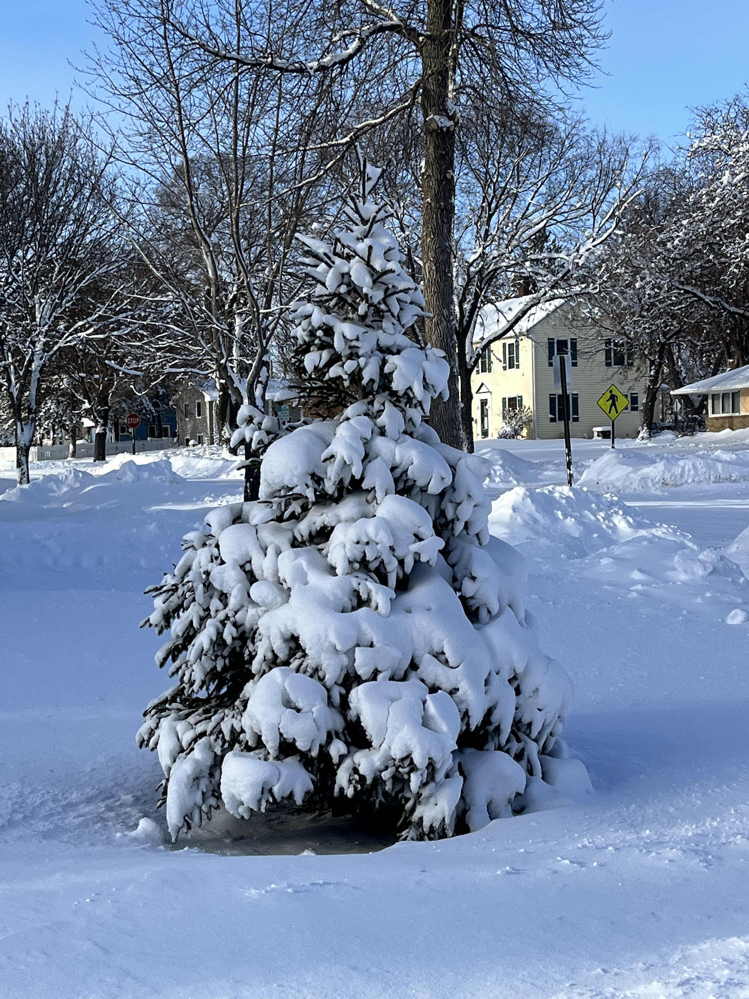
So, today — lots of snow. Tomorrow and the next day — 50mph winds pick up all the light fluffy stuff and blow it around and around, reducing visibility, making it painfully dangerous to be outside, and drifting all over the roads and highways. I just looked out my window and the snow is already here.
I’m taking this seriously, of course. Shortly, before the snow gets too high, I’m going across the street to the lab to feed all the spiders and set up the fly stocks for genetics that arrived yesterday, and then I’ll dart home and hunker down. I’m planning a big pot of soup — maybe more of a stew, I’m planning to throw in lots of chunky vegetables — that’ll tide us over for a few days. And then tonight, I’ll huddle around the warm glow of the computer monitor and have a conversation with anyone who wants to join in. Unless the power goes out.
Stay safe, everyone!