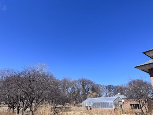
In class today, I was telling students what to expect on the big genetics exam on Wednesday. I got an unexpected question: “What if we get 6-12 inches of snow on Tuesday and Wednesday?” I thought they were teasing me, no way I have to worry about that, look at the skies outside right now!
Another potent Spring Storm is on tap to arrive on Tuesday lasting into Wednesday with heavy snow expected for much of central Minnesota. The system will arrive in western Minnesota by Tuesday morning with a band of heavy snow expected to begin by the afternoon continuing overnight as the system pushes eastwards. Snow quality is expected to be on the heavier, slushier side as snow ratios favor below 10 to 1. An influx of mid level warm air could also lead to a wintry mix at times, with widespread rain to the south of the main band of snowfall. Snow will diminish by Wednesday afternoon as the system continues into the Great Lakes region. A broad area of 6 or more inches of snow is expected for parts of central Minnesota, with high end amounts potentially reaching the double digits. Ice accumulations should generally remain a glaze to a few hundredths at the most.
How dare Midwestern skies disrupt my curriculum! If it’s really bad, I’ll have to postpone my exam to Monday, which makes a mess of my plans, but I do want my students to survive winter. Even if it’s winter in April.

