We woke up this morning to the moaning of the wind, and I decided to just stay in bed a bit longer. We’ve got a long day ahead of us in which we won’t be stepping outside our door today.
A developing potent winter storm over the Central Plains this morning will become much stronger as it moves toward the Great Lakes through Monday morning. Snow will develop over western Minnesota near sunrise, with a rain/snow mix developing farther east. The rain/snow mix across eastern Minnesota and Wisconsin will quickly turn to snow later this morning as temperatures drop during the daylight hours. Steady snow will continue through early Monday morning. Accumulations of 6 to 10 inches are forecast across eastern Minnesota and western Wisconsin, with amounts tapering off to a few inches across far western Minnesota. In addition, strong northwest winds gusting to 45 to 55 mph are expected by this evening, leading to blizzard conditions in open areas of central and southern Minnesota through early Monday morning.
A Blizzard Warning is in effect in a corridor from Morris and Long Prairie, south to Granite Falls and the far southwestern Twin Cities metro, to the Mankato and Albert Lea areas. A Winter Storm Warning is in effect for the rest of eastern Minnesota and western Wisconsin.
Travel conditions will become dangerous later today through early Monday morning. Alternative travel plans should be considered.
I did look out the window — haze, swirling snowflakes, trees trembling in the wind — and closed the blinds again. Yesterday I saw rabbits hopping about nibbling on the food my wife left out for them; no rabbits today. Fat little fluffy birds are made of sterner stuff and are fighting over bird seed.
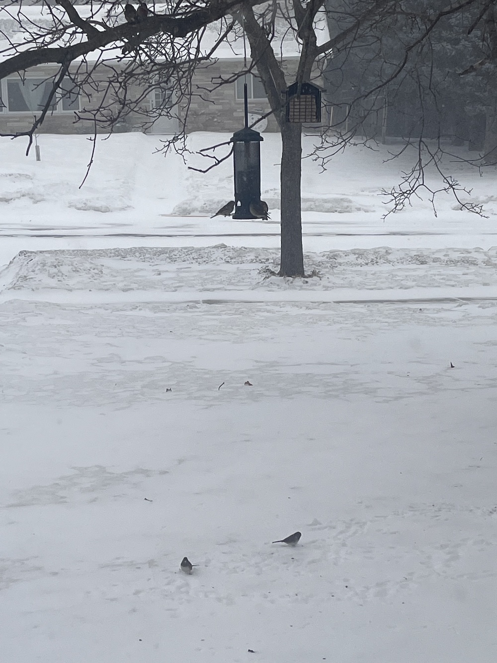

Dark-Eyed Juncos :-)
Here in Canada’s capital, they’re calling for somewhere between 0.6 and 0.8 inches of ice forming between tonight and tomorrow morning. So if you have a day off tomorrow and a driveway and sidewalk, you don’t have a day off tomorrow.
It’s -15C now, tomorrow will be +5C.
without a chinook
@2 – I live in Guelph, and have a corner lot. I’ve already been out twice today to try and break up the ice, and am looking at a third.
Wintery mix sounds like it should be a delicious treat, not absolute torture.
Right now we’re having a heatwave (for this time of year). I had to turn on the air conditioner for Christmas. I just went out in short sleeves. It isn’t natural for North Georgia in December. We don’t even have an autumn anymore. Just a short winter, spring, and a long summer from May into November. I hate it.
In Sweden, the giant goat made of straw in Gävle was blown down by a recent storm.
@ ^
Clear winner of the thread.
It was 39 degrees here in Adelaide, South Oz today. Celsius.* Stinking hot day. Not even an El Nino year.. Globally so many places are smashing record high temperatures and its barely being reported esp in mainstream media.
The grapsh and claimet records falling are screaming at us and we’re doing.. sweet FA. Nowhere near enough.
.* 102 degrees Fahrenheit.
-7C here, which torments my Thai wife who has to catch the bus to work at 5am. Snow and ice forecast for NYE and beyond, but at least we don’t get blizzards here (yet, once the AMOC collapses all bets are off).
Where I live in Florida will dip toward 37 °F midweek. I do not know how we will survive this catastrophe. Seriously though anything below 50 °F and I consider wearing a jacket depending on the wind. Mid 30s is mos def jacket weather, though I can go to the mailbox in shirt and shorts without much fuss. Weirdly I cannot recall the last freeze warning we had here. Used to be a couple per year. That’s not good. Floribama gets much colder. Jax too (go Jags!).
Man that looks cold